Move from a wall boundary to a source. Keep observations, proposed road connections and different timescales distinct.
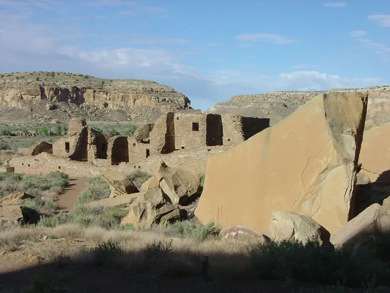
Return to the illustrated story ↗Pueblo Bonito, viewed from the cliff-side trail between it and Chetro Ketl, according to USGS. The source page date is not a verified exposure date. U.S. Geological Survey · Exposure date unverified; source page dated 6 July 2005 · Public domain. Existing image reused unchanged. Earlier converted to WebP with aspect ratio preserved and no crop. Image record ↗
Original free English exercise. Notes are not saved automatically; print or save as PDF before closing. This is not a translated or freely released paid PDF.