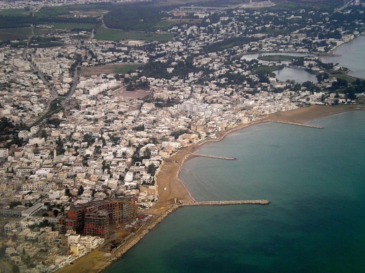
Move from an observed shape to a source, a historical phase and an open research question.
Return to the illustrated story ↗Citizen59; colour adjustment by Dyolf77 · 16 November 2007 · CC BY-SA 3.0. Resized and converted to WebP; original preserved. Derivative under the same share-alike licence. Image record ↗ · Licence ↗
Original free English worksheet, 26 October 2026. Separate from paid products; not a paid Turkish PDF translation or release. Notes are not saved automatically. Print or save as PDF before closing.