
A railway excavation opened a harbour the city had buried.
Open the original Instagram Reel ↗
Approximately 43 seconds. Existing 540 × 960 web copy from our archived master. Turkish narration and on-screen text; no English dubbing or embedded English subtitles. AI-assisted representative scenes, not historical footage. Full playback, listening and subtitle alignment have not been checked for this edition.
- Why need ships found together not have sunk on the same day?
- Which visual details would require an excavation record before you could use them as evidence?
- How does recovering a hull differ from conserving it?
The film’s fifth–tenth-century wording is narrower than INA’s late-tenth/early-eleventh-century endpoint. Its storm narrative does not establish one cause for all 37 losses. [1] [3]
Beyond the number: harbour, timber and memory.
Another shore beneath your everyday journey
At a busy station, you follow the movement ahead: stairs, gates, a platform. The destination seems more urgent than the ground beneath your feet. Try pausing before that familiar journey and asking a stranger question. Has this place always been dry land? This imagined pause is our invitation into Yenikapı, rather than a scene taken from an ancient traveller’s diary.
The Institute of Nautical Archaeology places the Theodosian commercial harbour here in the reign of Theodosius I, in the late fourth century. Over time, accumulating sediment altered its use and eventually filled it. The excavation also encountered much earlier settlement traces. Those layers belong to different histories; a Neolithic dwelling is not the beginning of the Byzantine harbour. [1]
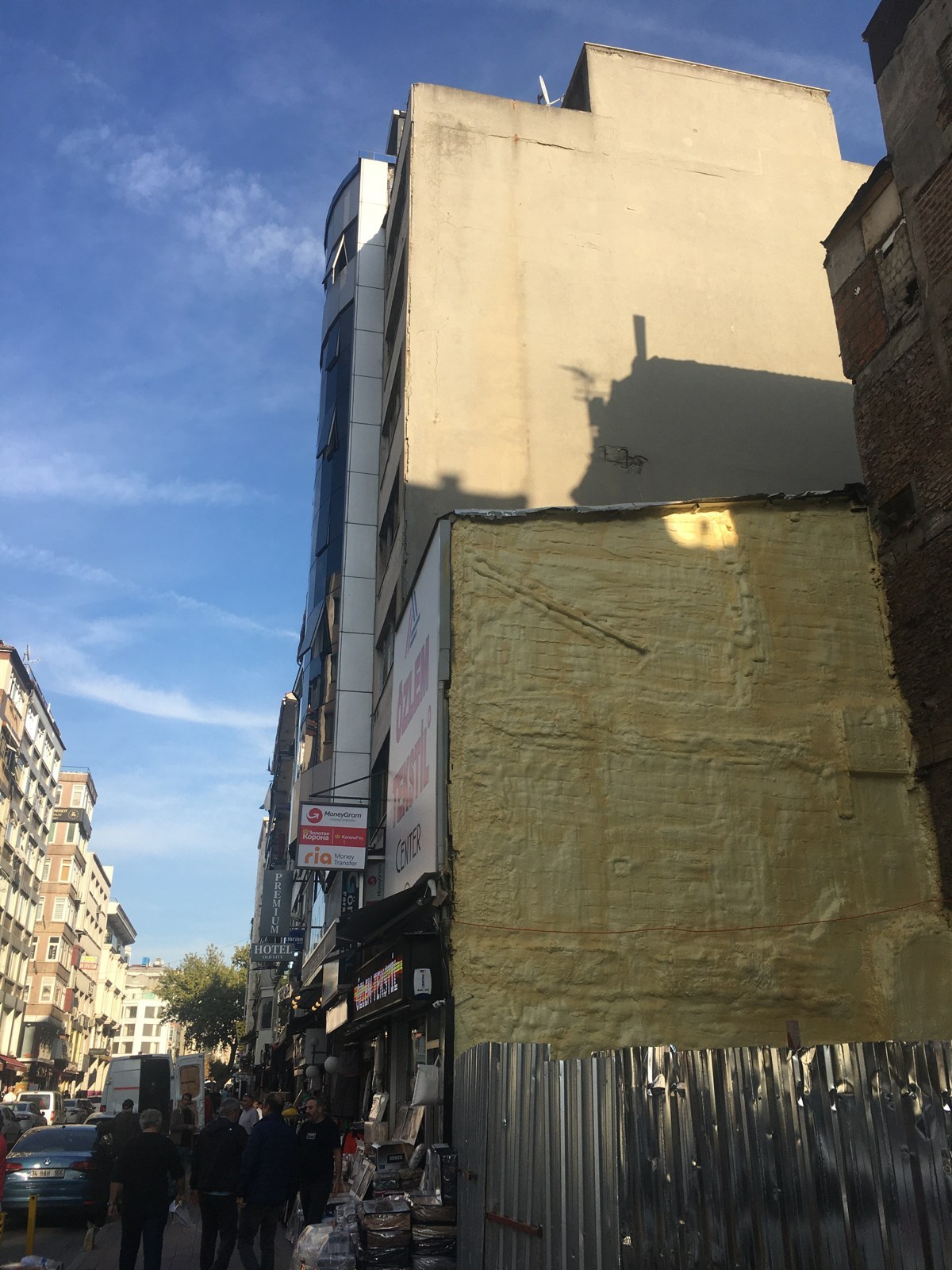
The modern street photograph beside this reading gives the question a familiar setting. It cannot supply the position of an ancient waterfront. Drawing a blue line across it would make an attractive illustration, but an attractive line is not a measured shoreline. A photograph can show us where curiosity begins without pretending to contain the answer.
On your next journey, look for something that seems permanent: a street, a name, an entrance. Then ask what sort of record could reveal change beneath that apparent continuity. The pleasure of reading a city comes partly from noticing that our everyday map is only one arrangement of its possibilities.
Thirty-seven ships, many different endings
A number can summon a whole scene. Say “thirty-seven ships” and an entire fleet seems to rise in the imagination: hulls together, crews waiting, one terrible final night. Yet finding things in the same place does not mean they were used together or lost together. The collection becomes more interesting when we allow it more than one ending.
INA dates the wrecks from the fifth century to the late tenth or early eleventh century, and identifies merchant vessels as well as oared ships. That is a long span of maritime activity, not a single departure list. The university abstract on Yenikapı 16 uses the shorter fifth-to-tenth-century description. Our film follows that shorter wording; this reading preserves the wider scope of the INA account. [1][3]
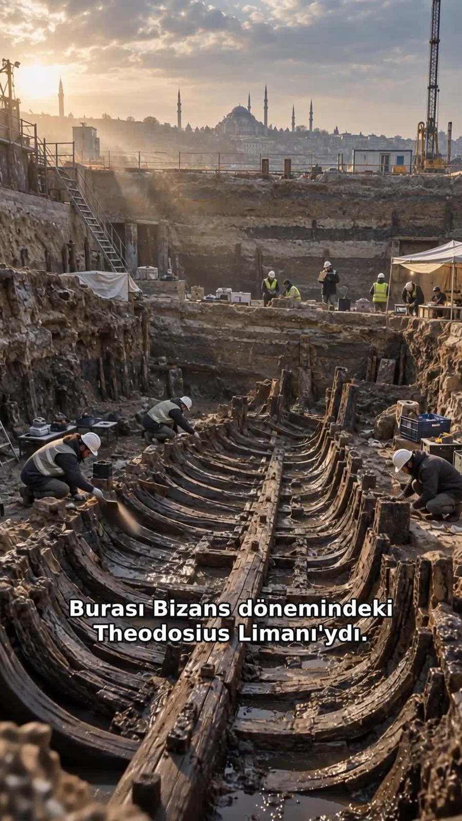
Watch the harbour scene again. Its crowded hulls are an imaginative introduction, not an excavation plan showing every wreck’s actual position. A convincing view can encourage an unearned conclusion: if the ships appear together, perhaps a single storm destroyed them all. The film’s storm wording does not establish that explanation for the entire collection.
Instead, imagine a separate index card for each vessel. Give it space for an identifier, a proposed date, the surviving parts and the source of the information. Leave an unsupported box empty. The gaps are useful: they tell you what to investigate next, while protecting the differences that a dramatic collective image can hide.
Finding wood is only the beginning
A hull emerging from the earth looks like the climax of discovery. For the people responsible for its future, it opens another demanding chapter. Bringing an object into view and keeping its shape, surfaces and relationships available for study are different achievements. The excitement of the reveal should leave room for the less theatrical work that follows.
The 2022 thesis abstract on Yenikapı 16 describes recording wooden elements through full-size drawings, photographs and cataloguing, alongside three-dimensional documentation. These records are not interchangeable decorations. A drawing can isolate a connection; a photograph can preserve a surface; a model can bring recorded relationships together. Each becomes more useful when its origin and purpose remain visible. [3]
In a 2019 university interview, Ufuk Kocabaş described the move from fieldwork to laboratory research and conservation, including the treatment of waterlogged wood. Read that interview as an account of work at that date, rather than a report that every vessel has since completed treatment. Excavation and conservation have different rhythms. [2]
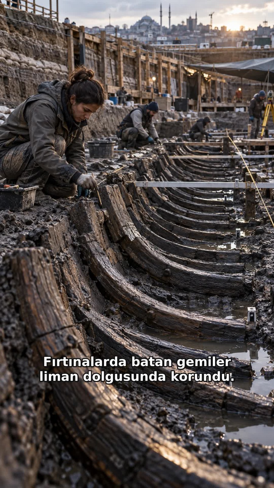
The illustrative worker in our film cannot prove that a particular measurement was taken. A ruler visible in a scene does not turn the scene into a survey record. Try making four headings in your own notes: object, observation, recording method and interpretation. Following the connections between them makes a wooden silhouette into a research question.
What can a newly built ship teach us?
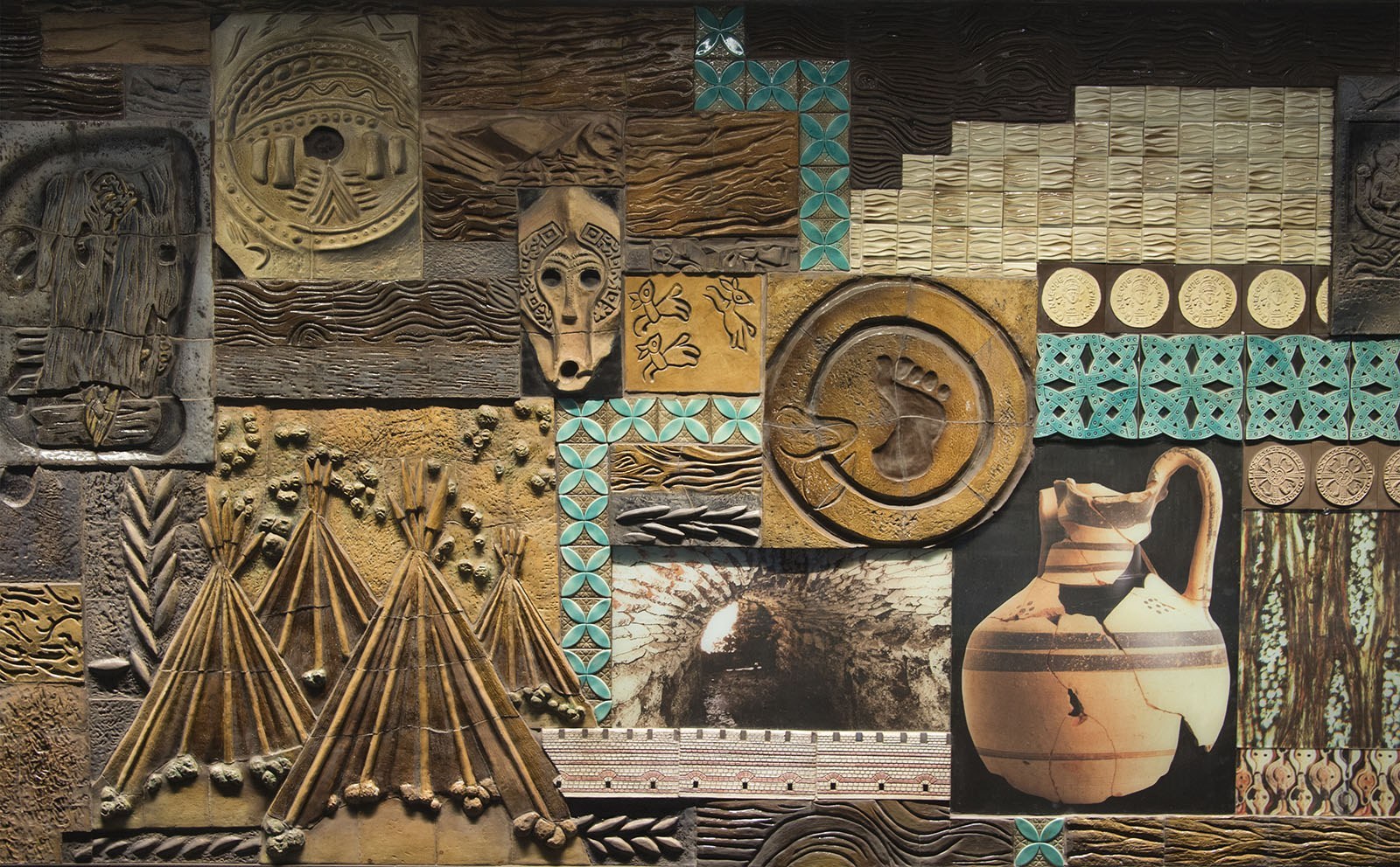
Now stop before the station display in the photograph. Pots, patterns and maritime forms assemble a public picture of the past. Seeing this arrangement is a different experience from seeing excavated timber, and different again from reading a measured drawing. The display is valuable as a modern act of storytelling; calling it an original wreck would erase that distinction.
The university’s January 2019 article reports that a reconstruction of Yenikapı 12 was launched in 2017. A newly built vessel can make questions tangible, but it is not the ancient hull returned intact to the sea. To understand such a reconstruction, ask which details follow surviving evidence and where a design proposal supplies what is missing. [2]
Instead of asking only whether a replica looks convincing, ask what it was built to investigate. What evidence could help you assess its answer? A striking image alone cannot establish cargo capacity or the result of a trial voyage. This reading makes no such calculation; it invites you to identify the records you would need.
Return to the station stairs. The story beneath them now holds more than a remarkable total. It includes changing land and water, different vessels, people making records and the care that keeps those records useful. Let the film open the door. Let slower looking and clearly identified sources lead you further.
One discovery, different stages
- Neolithic traces
- Earlier occupation remains form a different layer from the Byzantine harbour and wrecks. [1]
- Late fourth century
- INA associates the commercial harbour’s foundation with the reign of Theodosius I. [1]
- Fifth–late tenth / early eleventh centuries
- INA’s dating range covers multiple generations of ships; the university abstract uses fifth–tenth centuries. [1][3]
- Later centuries
- Silting changed harbour use; INA describes it as completely filled by the sixteenth century. [1]
- 2004–2013
- The excavation period stated by INA; field recovery is not the end of all research. [1]
- 2017
- Launch of the Yenikapı 12 reconstruction, reported retrospectively in the 2019 university article. [2]
- 2022 thesis record
- Digital documentation and modelling of Yenikapı 16 are the subject of the university thesis abstract. Only the abstract was consulted. [3]
Evidence, story and reconstruction
Documented collection
Research institutions record 37 wrecks. The number does not establish one shared sinking event. [1][3]
Dating scope
The film’s fifth–tenth-century wording is narrower than INA’s late-tenth/early-eleventh-century endpoint. [1][3]
Storm narrative
A storm in the illustrative account is not evidence that all 37 ships sank in one storm.
Modern photographs
The 2024 street and 2015 station display are real photographs, not excavation-day or original-hull photographs. [4][5]
Illustrative scenes
The film and its frames are AI-assisted representative scenes, not archaeological field documentation.
Three doors into your own enquiry
Read the city
Choose one feature in the modern street photograph. Describe what is visible, then name the record you would need before relating it to the ancient shoreline.
Give a wreck its identity
Open the INA project gallery. Find a labelled record and note its vessel identifier, date and recording method. Do not assign that identifier to our illustrative hulls.
Follow the second life
Compare the university interview with the thesis abstract: which describes conservation, which documentation? Note the date of each account before making a claim about progress.
Keep reading
This is the complete English web story and an original free English worksheet. The existing 12-page Turkish PDF package has not been translated. No English paid product, price or purchase link is offered here.
Follow the evidence
Sources and image rights checked 29–30 October 2026. Institutional text, image record and our own interpretation are identified separately.
- Institute of Nautical Archaeology · Yenikapı Byzantine Shipwrecks Project
Project text and labelled gallery reviewed. Harbour history, excavation period and wreck dating; an undated project overview is not confirmation of museum opening or completed conservation today.
- Begüm Demir · Yenikapı 12, Bir Zaman Kapsülü · İÜ İletim · 11 January 2019
University interview with Ufuk Kocabaş reviewed. Reports the 2017 reconstruction launch and the research/conservation process as described in 2019; future plans in that article are not current visitor information.
- Hilal Sümeyye Güler · 3D Digital Modeling of Yenikapı 16 Shipwreck · 2022
Institutional postgraduate thesis record and abstract only; the full Turkish thesis was not read. Used for documentation methods, not to identify any hull shown in our film.
- Zblace · Istanbul YENIKAPI.jpeg · 24 September 2024
Image record and CC BY-SA 4.0 terms checked directly. Modern street photograph; orientation and size adjusted in the existing web derivative.
- Dosseman · Yenikapi metro station 5345.jpg · 11 December 2015
Image record and CC BY-SA 4.0 terms checked directly. Modern station display, resized in the existing web derivative; not an original wreck photograph.


The two modern photographs are used under CC BY-SA 4.0; their existing web adjustments remain under that licence. This photo licence does not release the text or paid package for redistribution. Illustrative frames belong to the Geçmişin Haritası film archive. None is labelled as an archaeological excavation photograph.